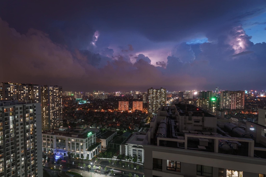
Typhoon Yagi is currently moving towards the sea area between Quảng Ninh and Thái Bình, with wind speeds of up to 149kph near its center, as reported by the National Centre for Hydro-Meteorological Forecasting (NCHMF).
As of 10 a.m. today, Typhoon Yagi, also known as Typhoon Number 3, was positioned at approximately 20.6°N, 107.6°E, over the Quảng Ninh-Thái Bình sea area. The maximum wind speeds near the storm’s center range from 134-149 km/h (level 13), with gusts reaching up to level 16.
The storm is projected to move west-northwest at 15-20kph and is expected to make landfall in northern Vietnam. Winds upon landfall are forecast to be at level 8, with gusts reaching level 10. The northern Gulf of Tonkin, as well as coastal and inland areas of Quảng Ninh, Hải Phòng, and Thái Bình, face a level 4 disaster risk, while the southern Gulf of Tonkin and regions of Nam Định, Ninh Bình, and Thanh Hóa face a level 3 risk.
By Sunday at 10 a.m., the storm is expected to weaken as it continues west-northwest at 15-20kph, with winds decreasing to level 6. The risk of natural disasters in Quảng Ninh, Hải Phòng, Thái Bình, Nam Định, Ninh Bình, and Thanh Hóa will remain at level 3.
The Gulf of Tonkin, including the Bạch Long Vỹ and Cô Tô islands, will experience winds of level 8-10, with winds near the storm’s center reaching levels 11-13 and gusts up to level 16. Waves in these areas will range from 3-5 meters, while those near the storm’s center could reach 6-8 meters. Coastal areas from Quảng Ninh to Thanh Hóa may see waves of 2-4 meters, with those near the storm’s center potentially reaching 3-5 meters.
Meteorologists have also issued warnings of storm surges in coastal areas from Thanh Hóa to Quảng Ninh, with water levels potentially rising by 0.5 meters in Thanh Hóa and up to 2 meters in Quảng Ninh on Saturday afternoon and evening.
Fishing boat anchorage areas, aquaculture farms, and coastal dykes are expected to face strong winds, high waves, and storm surges. Low-lying coastal regions, particularly near river mouths, should prepare for potential flooding due to storm surges and large waves.
From Saturday afternoon until Monday morning, the northern region and Thanh Hóa are forecast to experience heavy rain, with rainfall totals between 100-300mm and some areas exceeding 450mm. The most intense rain will occur in the northeastern region on Saturday afternoon and evening, and in the northwestern region from Saturday evening through Sunday night.
Widespread flooding is expected in low-lying areas, with flash floods in smaller rivers and streams, and landslides on mountainous slopes due to the heavy rainfall.
Due to the storm’s extensive reach, areas in northwestern Vietnam and from Nghệ An to Thừa Thiên – Huế should brace for thunderstorms, tornadoes, and strong gusts.
Although Hà Nội will not be directly hit by the storm, the city is likely to experience strong winds of levels 6-7, with gusts reaching levels 9-10, on Saturday afternoon and evening. These winds could cause damage to trees, roofs, and signboards, and residents are advised to stay indoors unless necessary.
Hà Nội is also expected to see heavy rain, with rainfall amounts of 150-350mm, leading to the potential for widespread flooding. Residents should take precautions to prevent and respond to potential floods.
Experts warn that stormy weather can cause significant damage to both people and property, particularly vehicles. People are urged to avoid going out during heavy rain and strong winds.
In areas directly affected by the storm, residents are advised to secure their homes, reinforce roofs, move furniture to higher ground in low-lying areas, and lower outdoor advertising signs. Boats should be anchored in safe locations, and aquaculture cages secured. It’s also recommended to fully charge phones and prepare enough food and water for two days, as power and water services may be disrupted.
Families living in high-rise buildings should tape their windows to prevent glass from shattering and bring heavy items like potted plants indoors to protect against strong winds. Additionally, closing windows tightly can help prevent water from damaging floors and furniture.
Related
Source: Vietnam Insider
